|

"Spoil Heap"
at No. 5 Mine
is clearly
visible on
the satellite
image.
The two black
spots of
spilled coal
show up on
the north and
south ends of
the old train
spur loop.

Underground
explosion in
No, 5 Mine in
1893 killed
25 miners (16
Italians, 6
Austrians, 2
Americans,
and 1 Swede).
Location of
this accident
is the south
or right side
of Level 6 in
the No. 5
Mine.

The No. 5
Mine probably
developed the
lower (Coal
No. 1) of the
Laramie
Formation
(See Cross
Section)
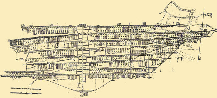
The No. 1
Mine likely
developed the
Middle
Laramie coals
2 and 3.

"King City"
c. 1885
Schematic
drawing of
the
facilities at
the King Coal
Mines SE of
Como.
Source:
Mary Dyer -
Echoes of
Como

King.
Circa
1890s.
South
Park
Coal
Mines.
S.P.
Div.
U.P.R.R.
near
Como
Brisbois
Photo
Leadville,
Colo.
Source:
Bob
Schoppe
Collection
Park
County
Local
History
Archives
Photo
Number
2883.

Larger image
showing the
King Coal
Mine area.
Dr. J.G.
Minke
South Park
Symposium
III,
Fairplay,
Colorado
August 10,
2002
Thanks to
Michael
Batzle,
Colorado
School of
Mines
Geophysical
Department
for providing
the mine map
and satellite
images. |